<- Back
Comments (86)
- benlimnerNote from the developer:I’m so glad that many of you like this app. I’m a solo dev, actively building between my 9-5 and raising a 9mo.Please follow along on X https://x.com/benlimner, or join the mailing list for updates/suggestions!
- tpoindexReally nice!Absolutely killer would be integrating with https://www.liveatc.net/ or other live ATC stream. Drop down to choose ground, tower, approach/departure, center, etc.I'll start in another tab for now.
- compass_copiumIt looks very nice. It's a nifty project. However, as the particular kind of weirdo who has a bookmark to https://globe.adsbexchange.com/ on his phone's desktop and checks it multiple times daily, I will point out that this UI doesn't add much that the color-coded plane icons on ADS-Bx don't already do, and it is more difficult to quickly visually glean information from.
- 1000100_1000101Neat project.Minor usability note, zooming by pinch on a MacBook trackpad is painfully slow.
- urlig8746Private pilot here. This is an awesome proyect. I cant make air spaces work, but if you manage to render them properly with TMA, CTR, AWY and other stuff, this would be incredibly useful for students.
- stefanvI’m unable to access the website directly from Romania (I tried different connections). Is there any reason why this region is blocked in CloudFlare?
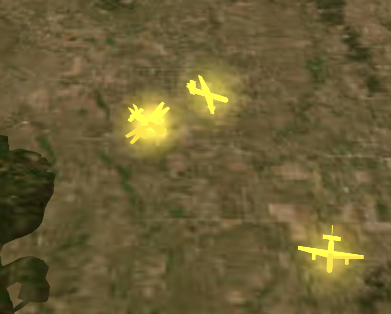
- whizzterThis is quite cool, seeing taking off planes appearing and rising is cool.Some comments: - Is the Up axis correctly scaled? The ascent rate of planes taking off seems very steep - Planes landing seems to get "stuck" at the beginning of a lane at about 600 feet (tracking/radar cutoff?), maybe a fix the that slightly adjusts it to ground in a landed state if a plane "stops" or disappears from the data tracking.
- OSS542It just sits at "Initializing 3D Space". I don't get anything else.
- ed_mercerI'm only seeing a circle that is lit up? Am I supposed to see the whole globe or is this a glitch on my system? I'm on a M1 Macbook Pro, Sonoma w/ Chrome.
- acrophiliacAs an old-timer who learned programming with punched cards, this visualization blows my mind. I want to turn it into my desktop screen saver.
- thot_experimentSuper cool app, saw someone posting about this on insta the other day. Do you have any info about how you've gathered and united all the different kinds of data you needed to build this? I've been working on a bunch of GIS/mapping stuff recently and I would love to hear more about other people's approaches to this sort of thing.
- anonundefined
- sfifsThis is fabulous. I wonder if something like this with 3D vision could make air traffic control much safer?
- schappimPlanes flying w/ multiple transponders [1]?[1] https://files.littlebird.com.au/Screenshot-2025-11-29-at-8.2...
- believecThis is pretty amazing. It would be pretty cool if clicking on plane shows additional info of plan like destination
- bibimszI love turning the trail length up and watching the air traffic patterns
- xgulfieWow, great idea well executed, congrats
- frankhsuThis website is really cool; I love its clean and clear information display. The expanded panel on the side has a lot of configuration options, but I don't quite understand most of it.I also followed you on Twitter; my name is winterx.Bro, you could try creating a 3D version of the Earth using AI and Three.js. You'll gain 10 times more attention online.
- purplecatsthis is really cool! can you make it interpolate and smoothly animate based on velocity and trajectory?
- vibrioAs a bit of a Flight Aware addict, well done.
- scootVery cool!Buttery smooth on mobile (iPhone 14), but the slider thumbs have a vertical anlignment issue (consider using a component library that has solved all the niggles rather than rolling your own).Also, you might consider setting the default airport according to time of day – Memphis is dead rn, whereas Heathrow is super busy and fun to watch…Also, lots be the name!
- scootVery cool!Buttery smooth on mobile (iPhone 14), but the slider thumbs have a vertical anlignment issue (consider using a component library that has solved all the niggles rather than rolling your own).Also, you might consider setting the default airport according to time of day – Memphis is dead RN, whereas Heathrow is super busy and fun to watch…
- toomuchtodoI love this, and would pay for native or electron app on Mac. Like Google Earth for global airspace.
- echelonThis is really freaking cool.Two asks -(1) you should default to a busy airport, eg. Atlanta, which is the busiest in the world. They have an order of magnitude more flights landing and departing. It seems random, but I keep getting New Orleans which is 10-20x less busy than Atlanta. ATL, SFO, LAX, ... That said, the topographically diverse places like Anchorage are nice too, and the height maps on the textures are fantastic.(2) Higher resolution satellite titles would be awesome. I have a high density flight path directly overhead and I'd love to see where I live on the map and know which way to look in real time, but the textures are about 10x too grainy to make out my street / neighborhood. Maybe you can download some high resolution tiles for free that won't be a big performance hit?
- TeeWEEThis is amazingly cool
- tamimioPretty cool! I made something similar a while ago, and used cesium primarily.
- dmazinDon’t use “loom” in your product/company name. ChatGPT LOVES to suggest it, and it makes it obvious you used it.